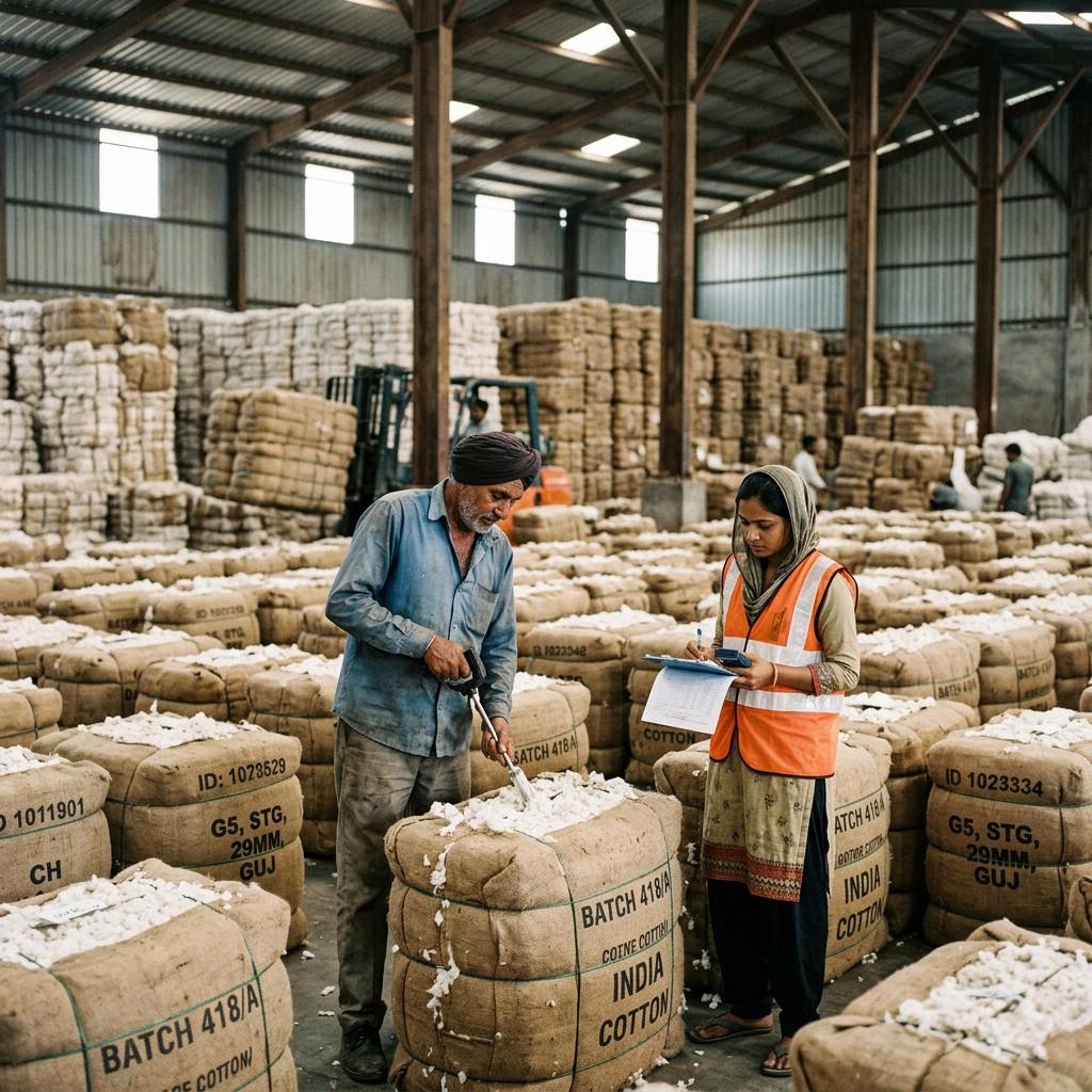
Satellite analytics flag forced labour indicators at remote worksites
12 May 2026 5 min read
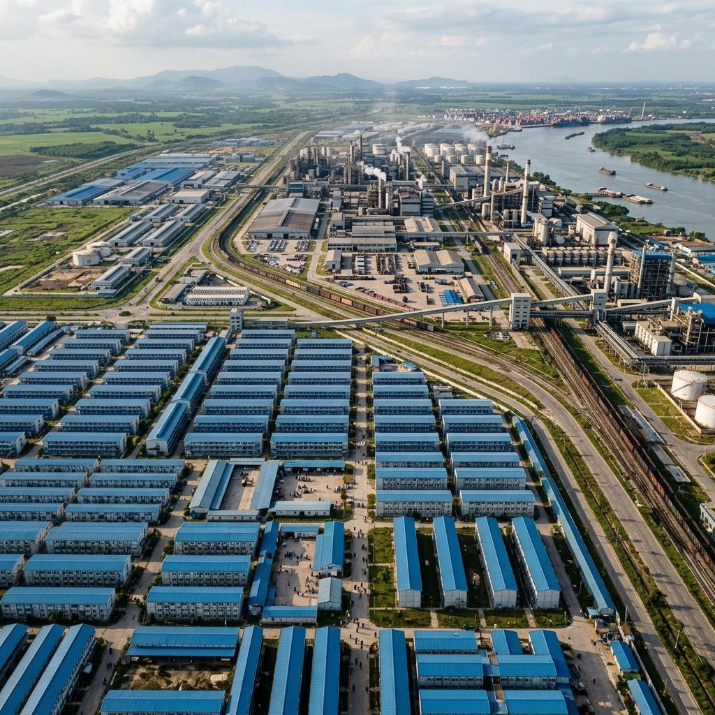
Machine learning applied to satellite imagery is helping investigators identify informal worker housing, night-shift patterns and unregistered facilities in high-risk regions.
Investigative groups are pairing satellite imagery with supplier location data to detect indicators of forced labour: undeclared dormitory blocks, fenced compounds and facilities operating around the clock in regions associated with state-imposed labour transfers.
Compliance teams increasingly use the same tooling defensively, verifying that declared supplier addresses match real production sites before onboarding.